When the waters turned into paths
2024
Video (with Pol Aregall)
Map and photos
Project carried out with the support of the Excursionist Center of Catalonia and presented between July 15 and October 4, 2024 at the entity’s headquarters, in Barcelona.
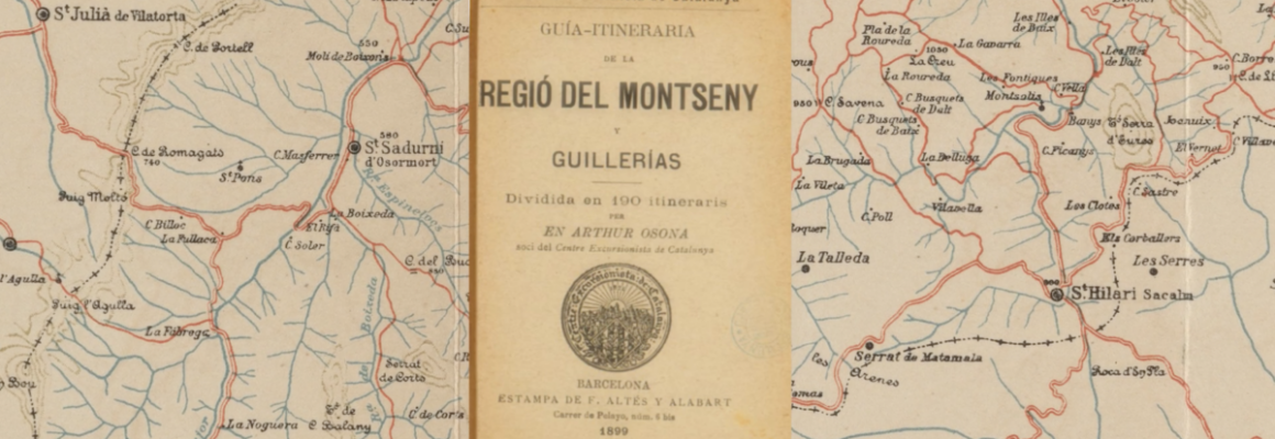
This project has been carried out based on the review of a series of routes described in the “Guia Itineraria de las Montanyas de las Región del Montseny with all its derivations, including Las Guillerias, or whether from the Ter to the Congost, Mogent y Tordera divided into 144 itineraries”, (1893 and 1899) by Artur Osona, partner of the Centre Excursionista de Catalunya. The excursions worked have in common the fact of crossing the Querós valley passing through the Querós bridge, a detail that was only possible before the construction of the Susqueda reservoir (1967). However, the persistent drought of the last year has brought to the surface the old bridge, which, overcoming the river Thalvege of the Ter, still stands by joining the two slopes of this steep valley. The lack of water has therefore allowed it to be possible to cross the Querós bridge again.
From there, we read the routes documented by Artur Osona and that crossed it. Thus, we produce an audiovisual document of an essayistic nature on drought, the passage of time, erosion, hiking routes and the morphology of the Sau valley, determined by the Ter and its tributaries. The drought has led us in this area to recover a past that had been underwater.
From there, we read the routes documented by Artur Osona and that crossed it. Thus, we produce an audiovisual document of an essayistic nature on drought, the passage of time, erosion, hiking routes and the morphology of the Sau valley, determined by the Ter and its tributaries. The drought has led us in this area to recover a past that had been underwater.
My infinite thanks to: Berenguer Vidal, Pol Aregall, Maria Verdaguer, and all those we’ve met along the process.
